Logo AgroCity Land Measurement - accuracy at your fingertips

AgroCity Land Measurement - accuracy at your fingertips


Get it on Google Play Download on the App Store
AgroCity Land Measurement - accuracy at your fingertips app preview
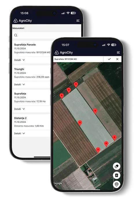
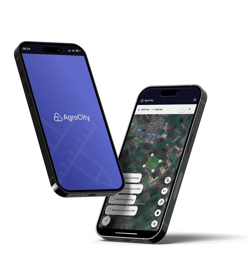
Calculate areas and distances with your phone’s GPS or by drawing on the map. Save every measurement for land management and reporting.

Create an account →
Feature list:
Measure areas manually or by GPS
Save and organise measurements
Measure distances manually or by GPS
Automatic AgroCity export

Two flexible ways to work
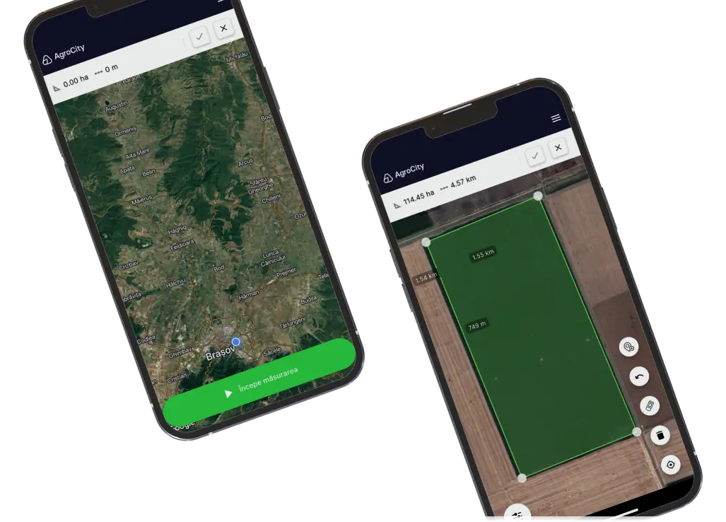
Walk the boundary with GPS or draw it directly on the map. Both options are fast and intuitive.

AgroCity mobile app preview

Accurate measurements

Get reliable area and distance values instead of rough estimates.

Maximum accessibility

Use any smartphone to take measurements wherever and whenever you need them.

AgroCity mobile app preview
Available on Android and iOS
AgroCity Land Measurement calculates areas and distances by GPS or manual map drawing and saves the results for reporting and land management.

Get it on Google Play Download on the App Store
Explore more AgroCity apps:
site.nav.apps.0.label
site.nav.apps.1.label
site.nav.apps.2.label
site.nav.apps.3.label

Have questions?
We are here to help. Contact us today

Contact
contact@agrocity.eu
+40 (752) 286 988
16A Lascăr Catargiu Boulevard, Bucharest
All rights reserved © AgroCity 2026
RO EN