
The complete app for managing your farm


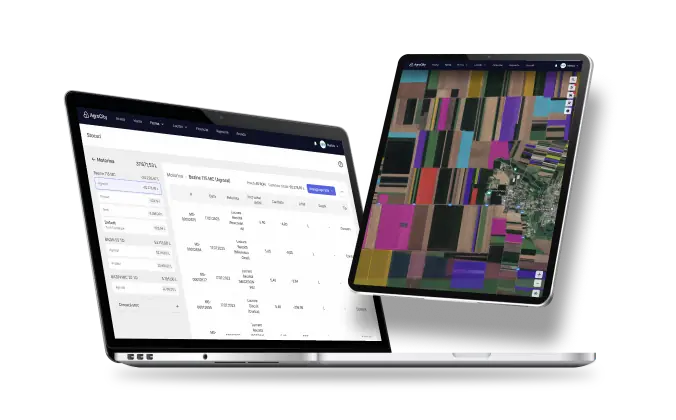
Crop and agricultural work history, together with soil-quality data, helps you make informed decisions, optimise resources and build sustainable farming strategies.
Create an account →
Feature list:
Farm map
Inventory
Work and costs
Reports
One unified map for all your farm data
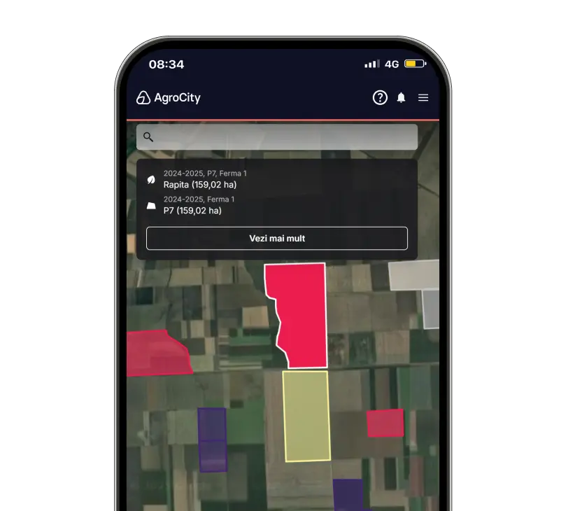
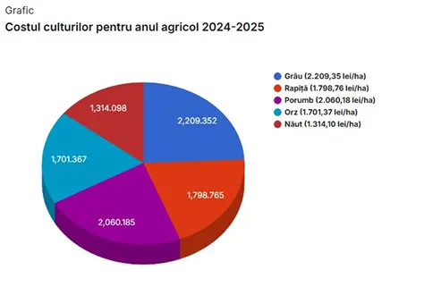
Data-driven decisions
Save time and reduce paperwork
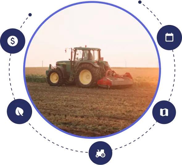
Integrated management from soil and inputs to financial reports
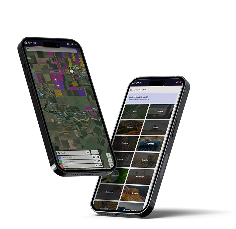
Available on Android and iOS
AgroCity is all-in-one software for farmers and agronomists who want to digitise land, machinery, inventory, crop rotation and financial reporting.